Categories
Blog

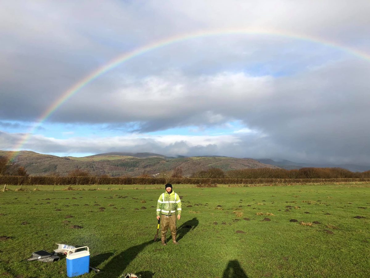
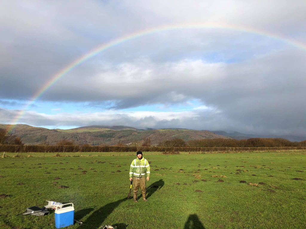
Botanical fieldwork on the marshes

By Holly Sayer, Field Botanical Surveyor.

As a botanist, most of my work is centred around the spring and summer months, so to be involved in a project where surveying is focused over the winter period is a novelty. It does however, come with its own set of challenges. In a temperate environment such as the UK, plants and grasses are mostly dormant during the winter season. This makes identification more testing as most of the foliage and flowering parts are either less visible or non-existent. Add to that the sideways rain and 20 metre visibility that is common on the coastal marshes of West Wales in winter, and you have what we like to refer to as external variables.
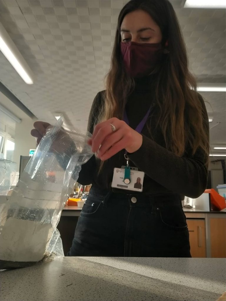
Holly sorting samples of vegetation in the lab at Aberystwyth University

The ECHOES project fieldwork that I am conducting is focused on the wet grassland and saltmarshes around Ynys Hir on the Dyfi estuary. The project is designed to assess whether rising sea levels could impact the winter feeding grounds of the protected population of Greenland White-fronted Geese. To do this, I head out on to the marshes to collect samples of their food plants. These samples are taken back to the lab at Aberystwyth University, where I dry and sort the material before sending them off for nutritional analysis at the biochemical lab.
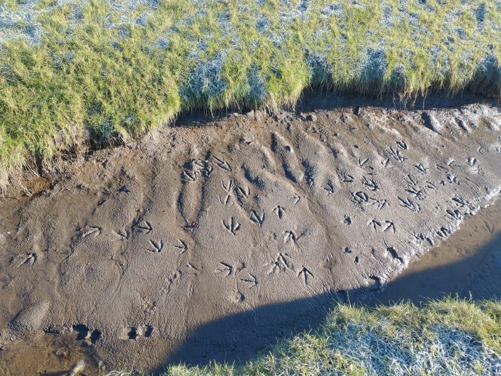
The only footprints I see on the saltmarshes are my own and the geese

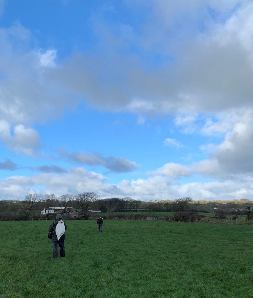
It’s this short period between November and March, when the geese are present on the marshes, that defines my winter survey schedule. I choose the best days of the week and armed with my GPS, sample bags and a flask of hot coffee, begin the walk from the Ynys Hir car park to the sample points. Once you cross over the Borth to Aberystwyth trainline you’re in the saltmarshes, which is not accessible to the public, so the only footprints I see here are my own and the geese.
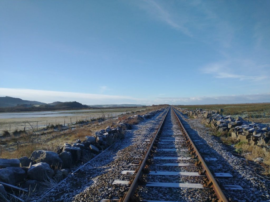
The Borth to Aberystwyth trainline.

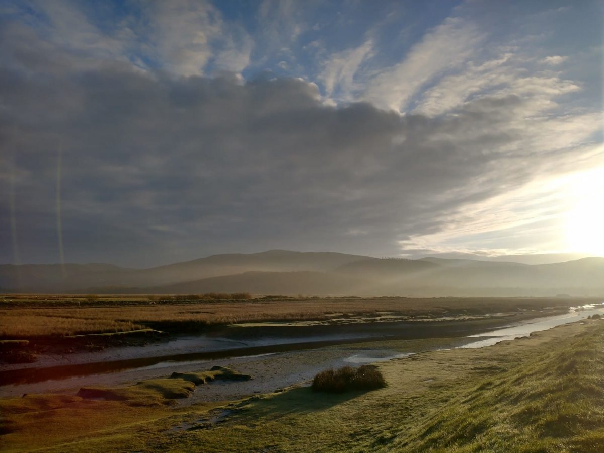
It is this seclusion from other humans due to the twice daily tides that give the saltmarshes their ethereal and remote beauty. As you navigate across the vast network of the estuary channels carved by the receding tides, your focus is on remaining upright in the silty estuarine muds. The silence is punctuated occasionally by the atmospheric calls you only get from wetland bird, such as the Curlew, the Redshank, the geese, and the unlikely trundle of the Aberystwyth to Borth train in the distance.
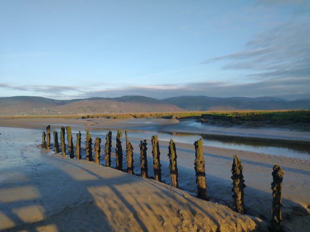
The mouth of the Cletwr River at low tide

The fieldwork was designed around the known food plants of the GWfG, to try and understand why the GWfG choose a particular area, even though the same food plants are available in other areas of the marsh. We collect the known food plants of the GWfG from a cross-section of habitats within the marshes to identify if there is a difference in the nutritional value within a given habitat type or area of the saltmarsh. Could the geese be repeatedly choosing these fields because the plants in them are more nutritionally dense, or are there other factors at work?
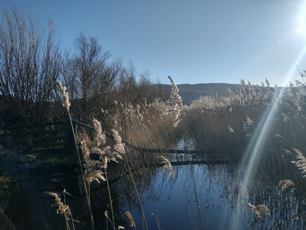
Reeds in ditches along the wet grasslands

Sea level rise makes these coastal areas particularly vulnerable to habitat loss. If the GWfG are choosing these exact fields for a particular reason, could the viability of the population be at risk if certain areas of the marsh are lost?
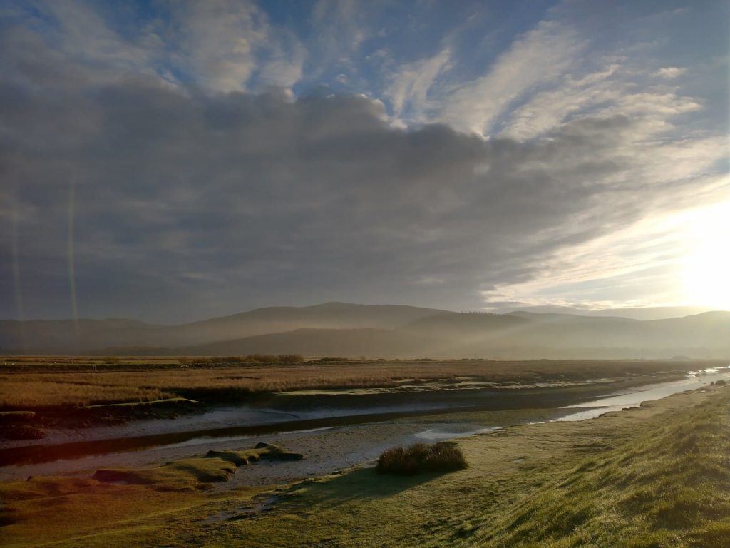
changeable weather across the Dyfi 

These over-wintering grounds are a vital habitat for the geese to nourish themselves and get themselves in good shape to make the arduous journey back to their summer breeding grounds in western Greenland. By understanding the nutritional value of the food sources and food plants across the marsh, the ECHOES project hopes that this information can assist land managers to adapt to sea level rise and ensure that suitable habitat is available.
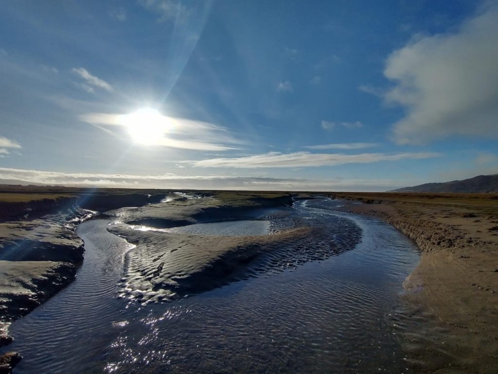
Blue sky reflecting over the saltmarsh

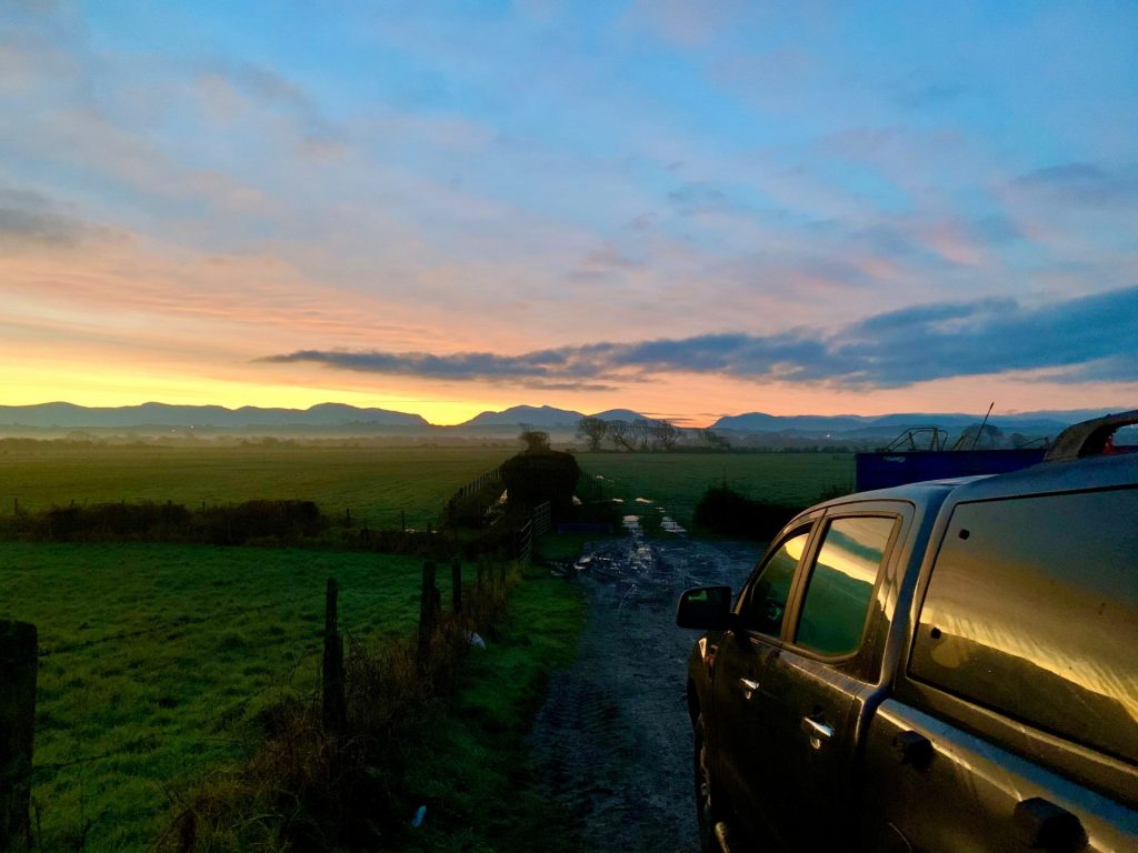
Heading back to the car after a long day of sampling with the ever-changing character and mood of the day reflected off mudflats, I am reminded how important these unique habitats are.
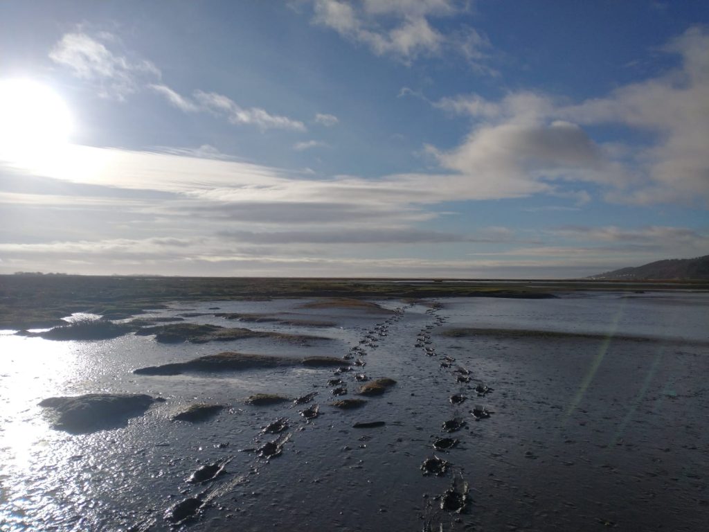
The only footprints I see on the saltmarshes are my own and the geese
Categories
Blog Uncategorized

World Curlew Day 2022

Discover how ECHOES is involved in the fight to protect the Curlew in Wales and Ireland.

Categories
Blog

Tagging and collecting tracking data of Curlew in Ireland

Luke Lambert

Research Assistant, University College Cork

When ECHOES team member Fiona Cawkwell got in contact with me about the ECHOES project it was an opportunity I could not pass up. Not only would I be working on a project that involves my passion for birds and bird conservation, but I would also be working on an important project in my own native county of Wexford.

I joined the ECHOES project in the last week of October, and I didn’t have to wait long to be in the thick of the action out in the field. My first port of call was to assist in the catching and tagging of Curlew at Ballyteige Burrow, a nature reserve on the south coast of Wexford.

A team from the BTO, including ECHOES team members Rachel Taylor and Callum McGregor, arrived in Wexford from Wales in the first week of November with the aim of catching and tagging ten of these birds.

By using satellite tags on the birds, we can minimise disturbance while keeping a close eye on what habitats the birds prefer and better understand their food supply within habitats like mudflats, saltmarsh, and pastures.

Bird tracking also helps us to understand how selective and mobile birds are, especially where they are using patchy habitats and where outside pressures like disturbance and tidal cycles affect their behaviour.

There is no shortage of Curlew at Ballyteige in the winter, with hundreds spending their time between the estuary and the surrounding fields. While there are plenty of Curlew about, they aren’t the easiest species to catch as they are very wary of both humans and their surroundings in general. This meant that a lot of re conning of the area and patience was needed to find where the best sites were for successful Curlew catching.

5am starts became the norm in the quest for catching Curlew and cycling 25km from home at half five in the morning on the quiet country roads of Wexford is an experience I won’t forget anytime soon! After some unsuccessful days, the weather conditions improved, and we managed to catch nine males in one morning and one female the next morning. The team from the BTO expertly weighed, measured, and placed rings on the legs of each bird with special codes to identify each individual. They then placed lightweight satellite tags on the birds backs which don’t interfere or harm them

iage of a sateliite tag that is to be fitted to a Curlew
The satellite tags placed on the back of each Curlew that was caught.
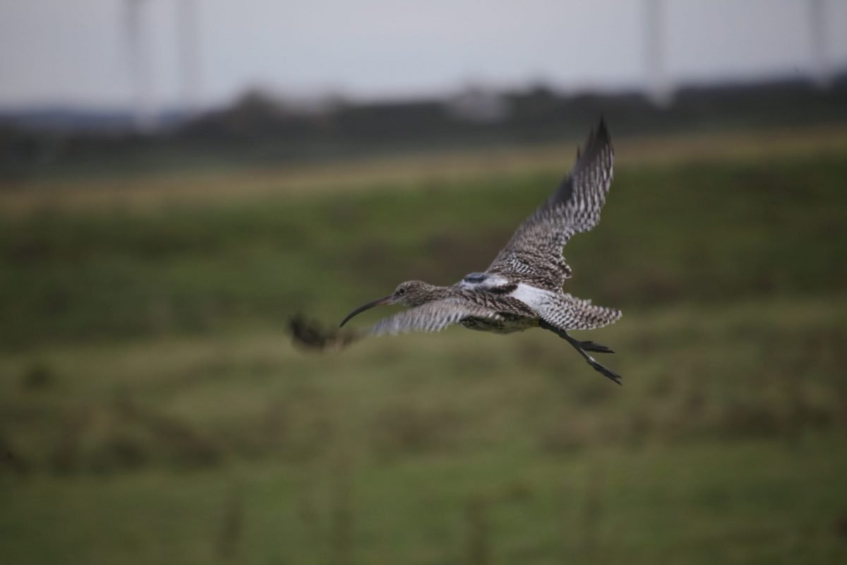
Picture of a curlew with a glue mounted GPS tracker on its back
The satellite tag sits nicely between the wings of the Curlew.

After releasing the tagged birds, the next step was to erect three base stations in suitable locations. These stations communicate with the satellite tags when the tagged birds are within a kilometre radius and collects tracking data of all the movements the bird has made. It is my job to visit these base stations and collect the data off each of them twice a week before sending it on to be processed by Katharine Bowgen, a research analyst from the BTO and member of the ECHOES team.

Picutre of a base station on a pole with estuary in background and blue sky
The base station overlooking the estuary. It is facing southwards to make the most of the sunlight as it is solar powered.
Luke Lambert gathering data from base station
Collecting the tracking data from one of the three base stations.

The results so far have shown that the Curlew generally stay near to the estuary and surrounding fields both during the day and night. However, more recent downloads have shown that some of the birds have started to move further inland, particularly visiting specific fields around the village of Rathangan.

A map showing the movements of the tagged Curlew in the Ballyteige Burrow area.

I will continue to collect data from each base station for the duration of the winter. Ballyteige Burrow is a wonderful area to be working in, with a fascinating landscape mosaic of sand dune systems, mudflats and salt marshes and a bonus that it is considered to receive the most sunshine in the whole of Ireland.

There’s always something to see whenever I visit to collect data, including my first ever Merlin, Short eared Owl and Goosander! The hope is that we’ll continue to get fascinating data of the daily movements of the Curlew which will be very useful for site managers and scientists in understanding the species favoured habitats and inform them on how best to manage these habitats to ensure a healthy and viable population.

a Merlin sits in long grass on the ground
A Merlin resting on a mound, one of the many raptors that call Ballyteige Burrow home in the winter. Luckily, our Curlew are too big for them to try and catch!
photo of distant curlew flying in the sky
Tracking the Curlews movements throughout the winter will the ECHOES project key insights into the birds favoured habitats in the Ballyteige Burrow area both during the day and night.
Categories
Blog

First winter of goose data already revealing exciting insights

Callum Macgregor
Research Ecologist, British Trust for Ornithology

In late January 2021, the ECHOES project team fitted GPS-tracking collars to three Greenland White-fronted Geese (GWfG).

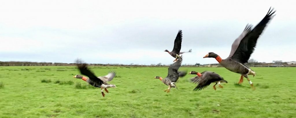
Each winter, very small numbers of this rare and declining subspecies choose to see out the coldest months in Wales (with larger numbers in Ireland also a focus of ECHOES project). The best-known flock, on the Dyfi Estuary, is now around 12 birds: while a second group (flock size unknown) was occasionally reported on Anglesey/Ynys Môn.

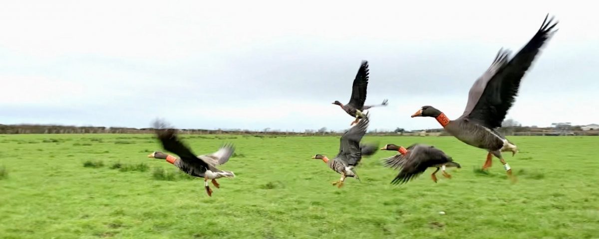
This species is notoriously secretive and highly sensitive to disturbance from humans, so to learn more about their behaviour, we turned to satellite tagging. Fitting a harmless lightweight collar around the neck of a goose, incredibly, allows us to determine their location on the Earth every 15 minutes down to roughly the nearest 20m (similar technology is also being used to track Curlews in the ECHOES project, with their tags mounted on the birds’ backs).

Intensive searching found a flock of 18 birds on Anglesey in December 2020, and the field team, led by Senior Research Ecologist Dr Rachel Taylor, were able to capture eight of the birds and fit satellite-tracking tags to three of them during January.

It’s early days within the GWfG element of the ECHOES project. Two months’ worth of data were collected before the geese departed for their summer breeding grounds in Greenland and is now in the process of being analysed. We all have our fingers crossed that when the flock returns later this autumn, our tagged birds will still be among them. If they are, we will be able to download and analyse a huge additional batch of data showing their journey from Anglesey to Greenland and back, as well as vital information about how they spend the critical first days after arriving back from migration on Anglesey. We also plan to complement this with data from birds overwintering in Ireland, to see whether the same factors affect flocks living on both sides of the Irish Sea.

Nevertheless, these three remarkable birds are already providing new insight into how Anglesey might look through a goose’s eyes. All three birds spent the vast majority of time in close proximity to each other, but very occasionally separated. This corresponds with what we already knew about the flock, which largely sticks together but occasionally splits into at least two distinct family groups. Our data, therefore, suggests that we have tagged birds in both groups (with luck, we might be able to confirm this once the birds return from migration).

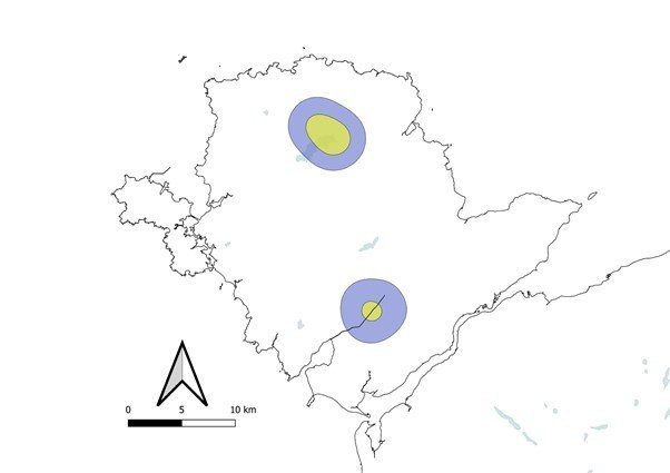
The group split most of their time between two areas in central Anglesey, one of which centred on the RSPB’s Cors Ddyga reserve. As February changed into March, they became more sedentary and focussed their time on a smaller area at just one of those sites. We know that these birds are sometimes observed at other sites on Anglesey, but they were completely faithful to just these two sites during the two months after they were tagged this spring. It’s possible that they move to different sites at different times during the winter in order to capitalise on the best feeding grounds, so this is another question that might be resolved once the birds return this winter and provide us with some more data!

Matching up GPS fixes to habitat data reveals a clear day-night pattern in where the geese choose to spend their time. Almost the entire daytime is spent in pastures – prime grazing land where the geese can feed to their heart’s content. After dark, the geese returned every night to one of two large waterbodies, roosting on deep water (presumably to reduce their risk of predation). Further analysis will help us to understand these choices at much finer resolution – which fields do the geese prefer to feed in, and what are the characteristics of these fields? Why do they always roost on these two waterbodies, rather than any of the many other still waters in the area? Beyond this, we hope to understand what factors influence the birds’ choice to spend time at each site, and particularly what factors cause them to invest precious energy into switching from one site to the other – which they did on a near-daily basis during one critical week in late February.

Among the possibilities, we’ll investigate variables relating to climatic conditions – a key focus for the ECHOES project, which seeks to understand how ongoing climate change will impact GWfG and Curlews around the Irish Sea. The bizarre circumstances of conducting this work during the pandemic has also offered us a completely unique opportunity to link changes in goose behaviour to key dates – such as March 13th, when restrictions in Wales changed from “stay at home” to “stay local”. These geese are generally thought to avoid humans as much as they can, so did the increase in recreational activity around this date – especially at RSPB Cors Ddyga – influence their behaviour? Watch this space, for answers to this and more!

The map below shows how our flock of GWfG split their time between two locations in Anglesey. The three birds spent approximately 95% of their time within the areas enclosed by the two blue circles, and 50% of their time within the smaller yellow circles.

Categories
Blog

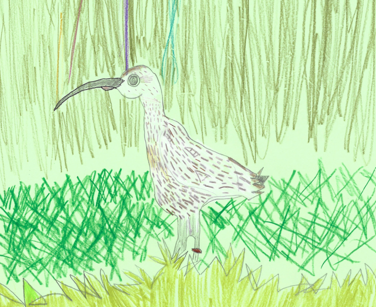
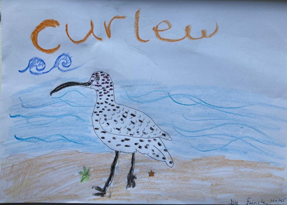
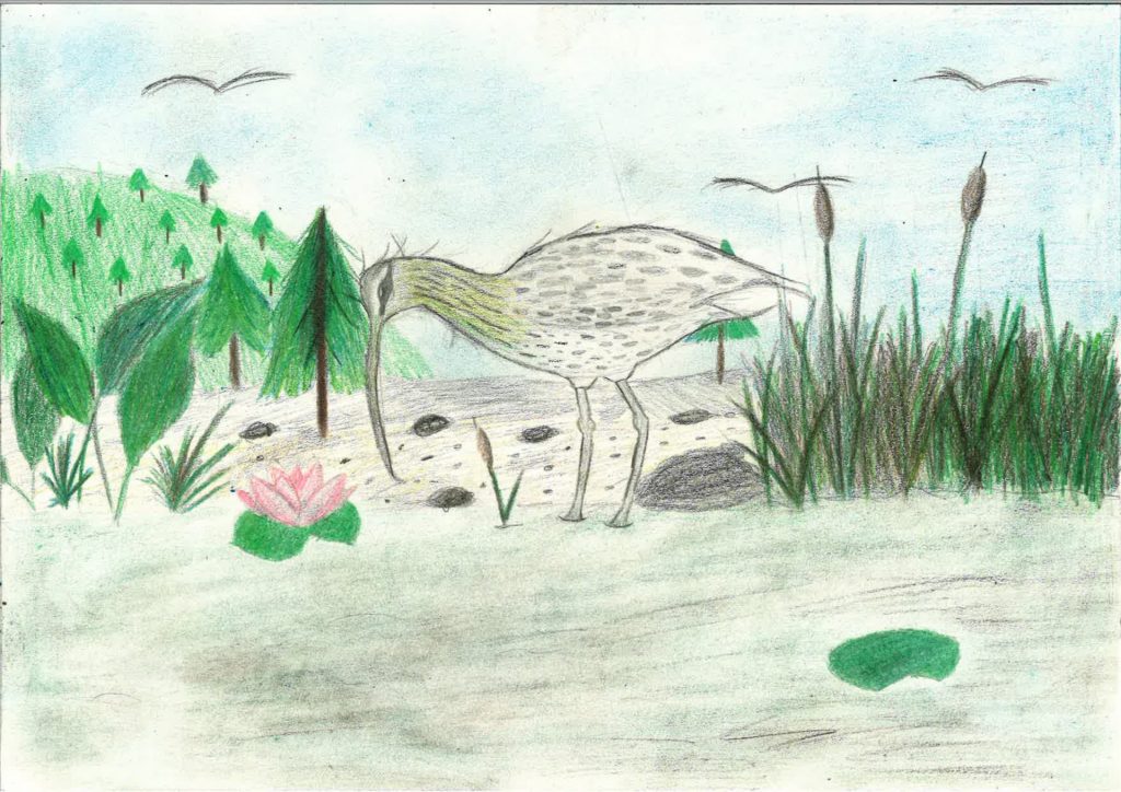
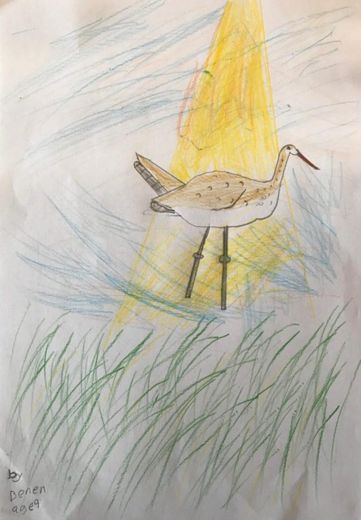
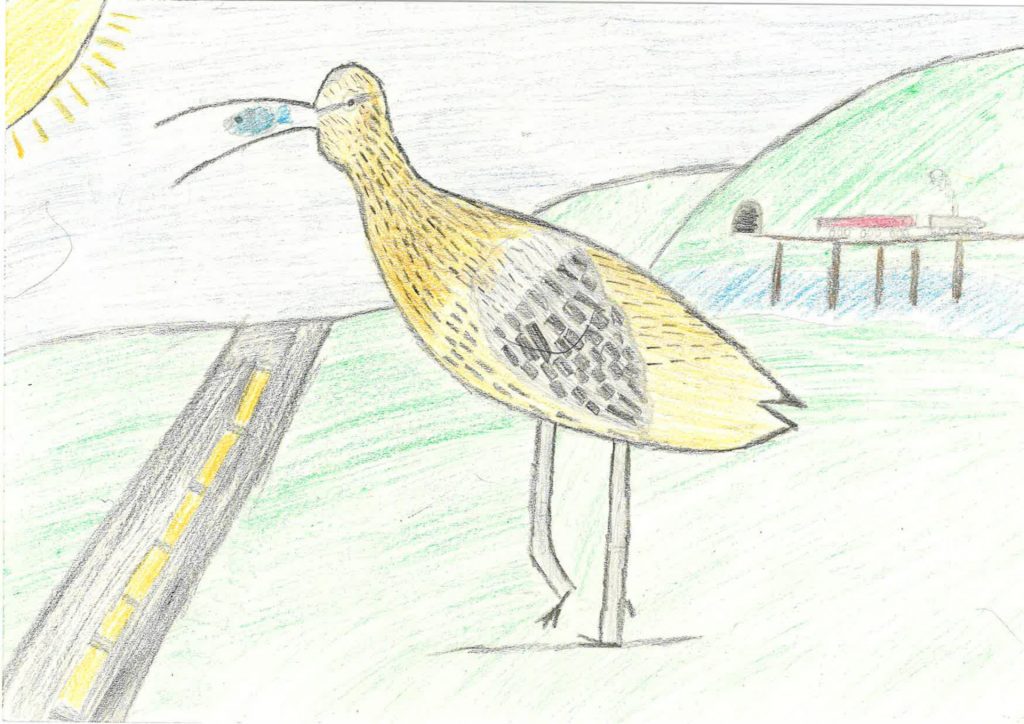
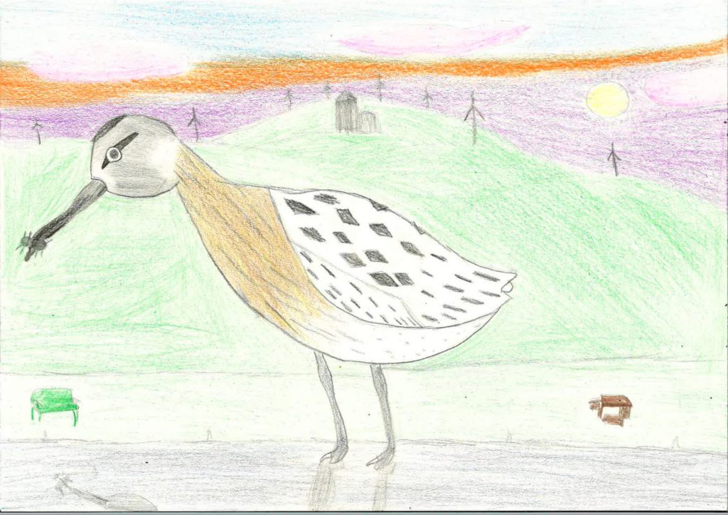
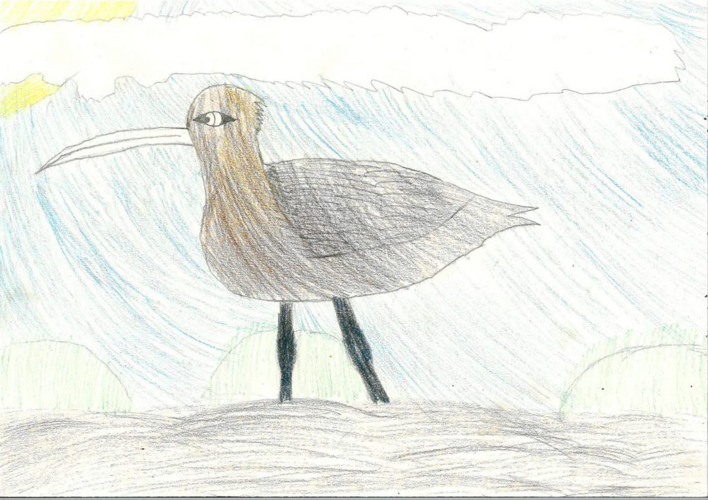
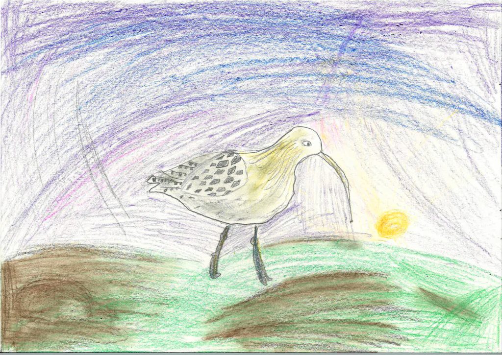
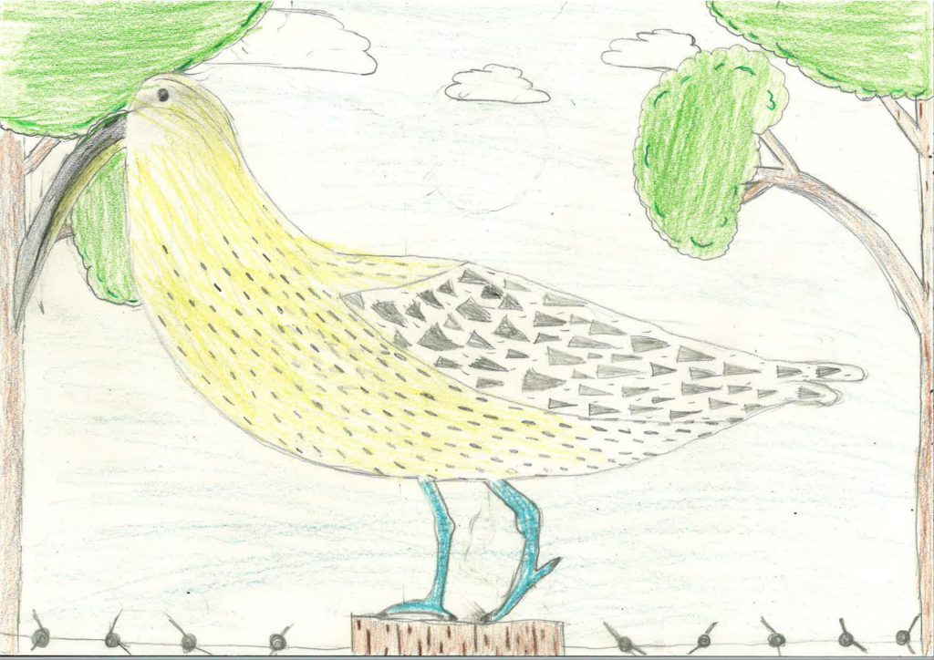
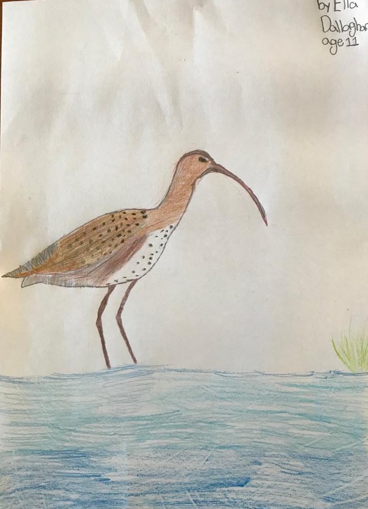
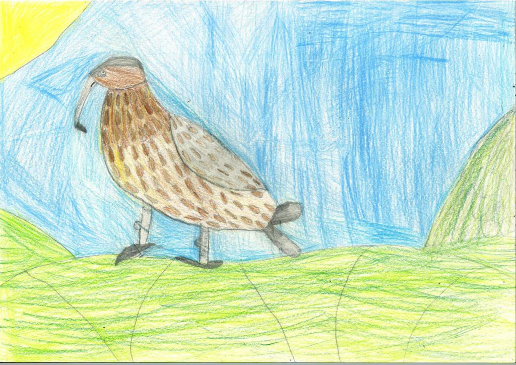
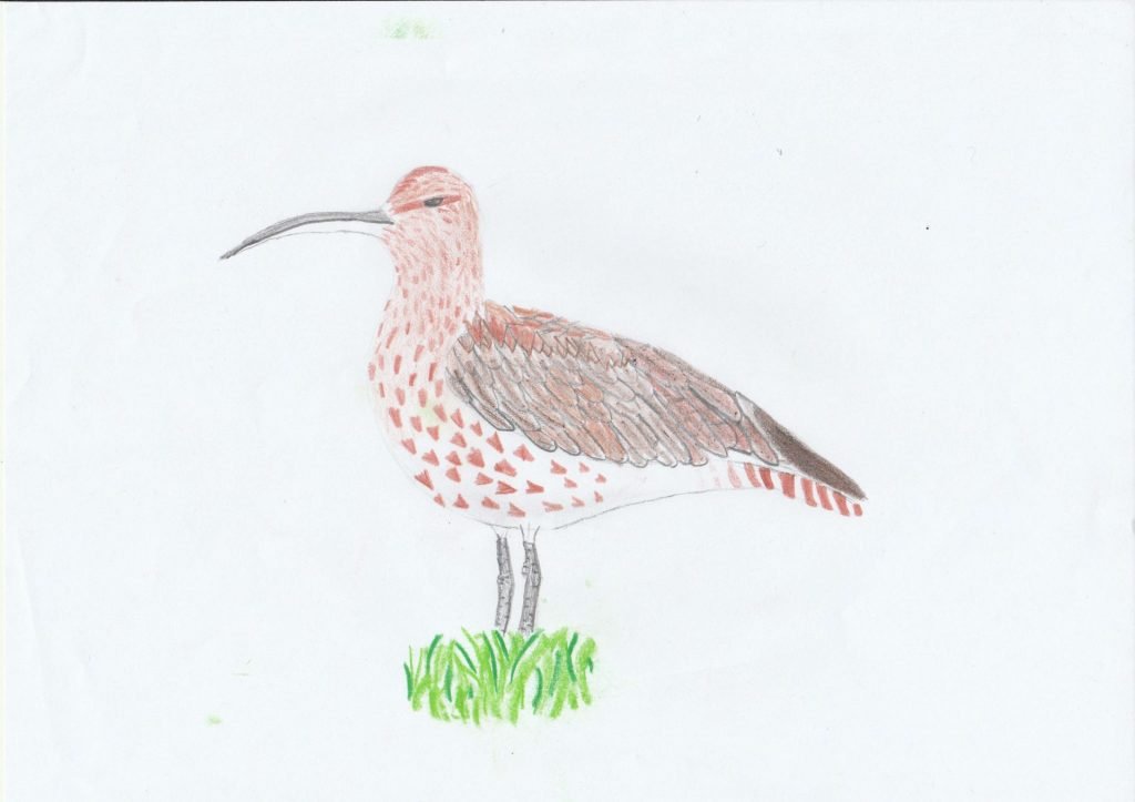
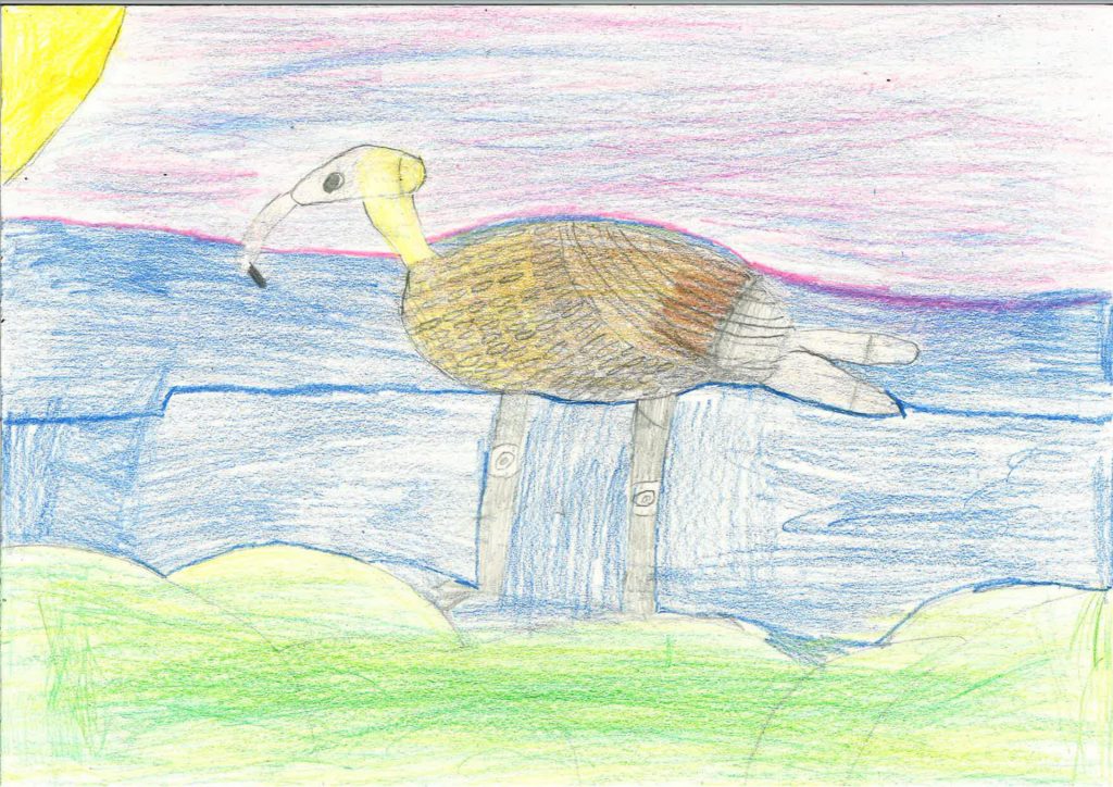
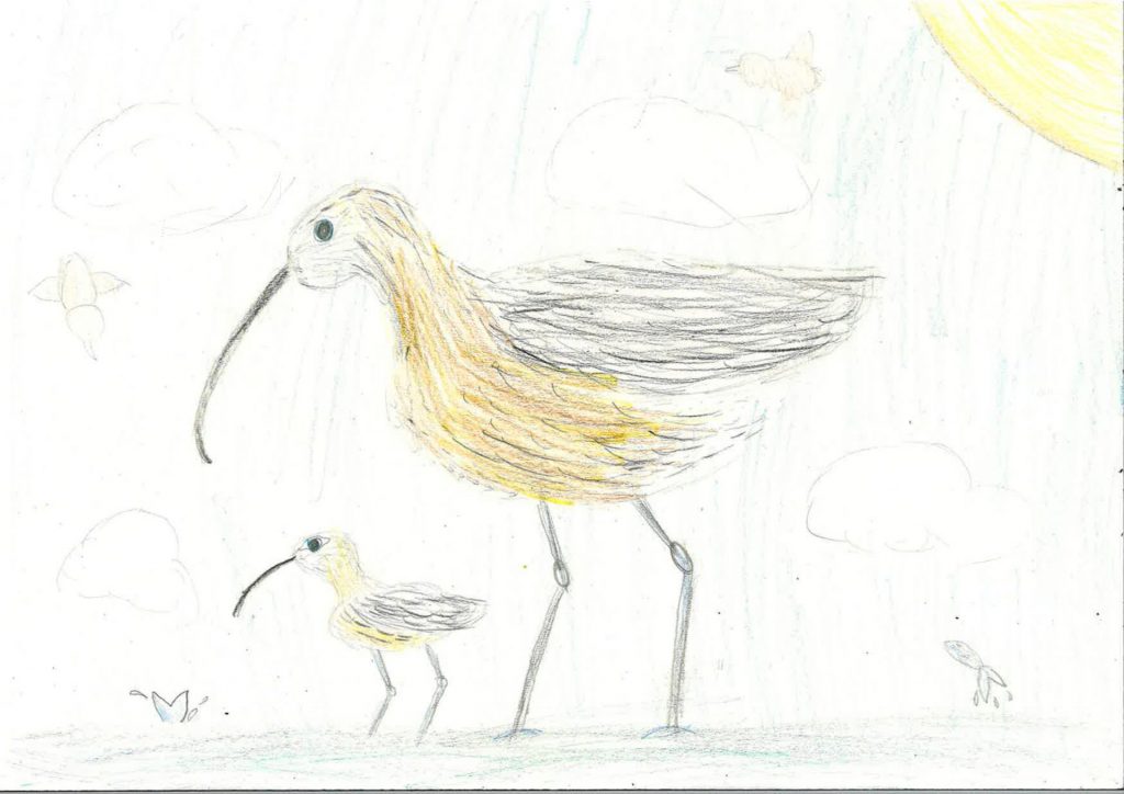
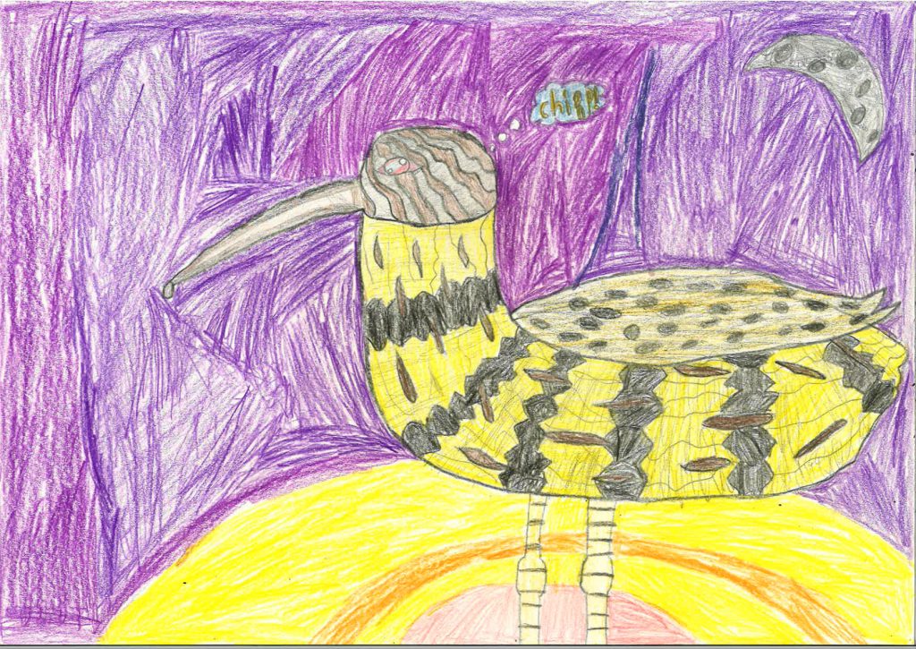
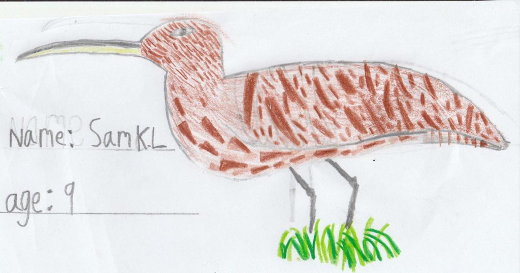
Draw a Curlew Competition: Entries 2021

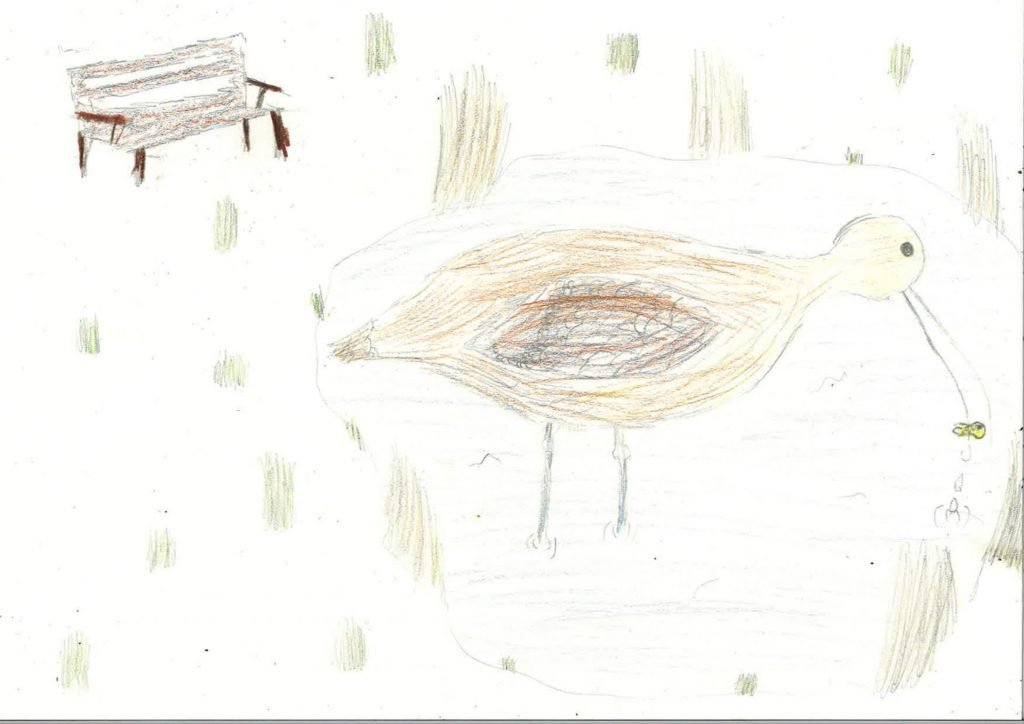
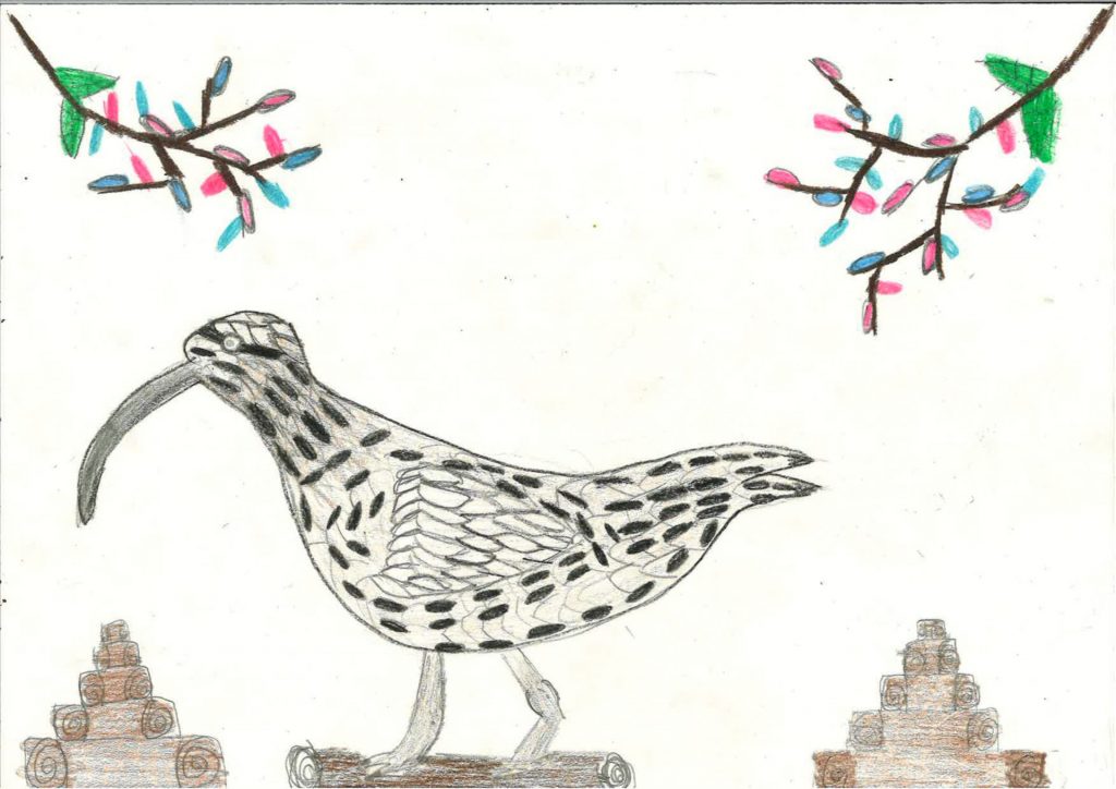
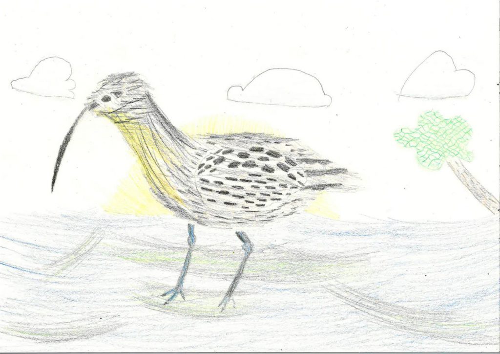
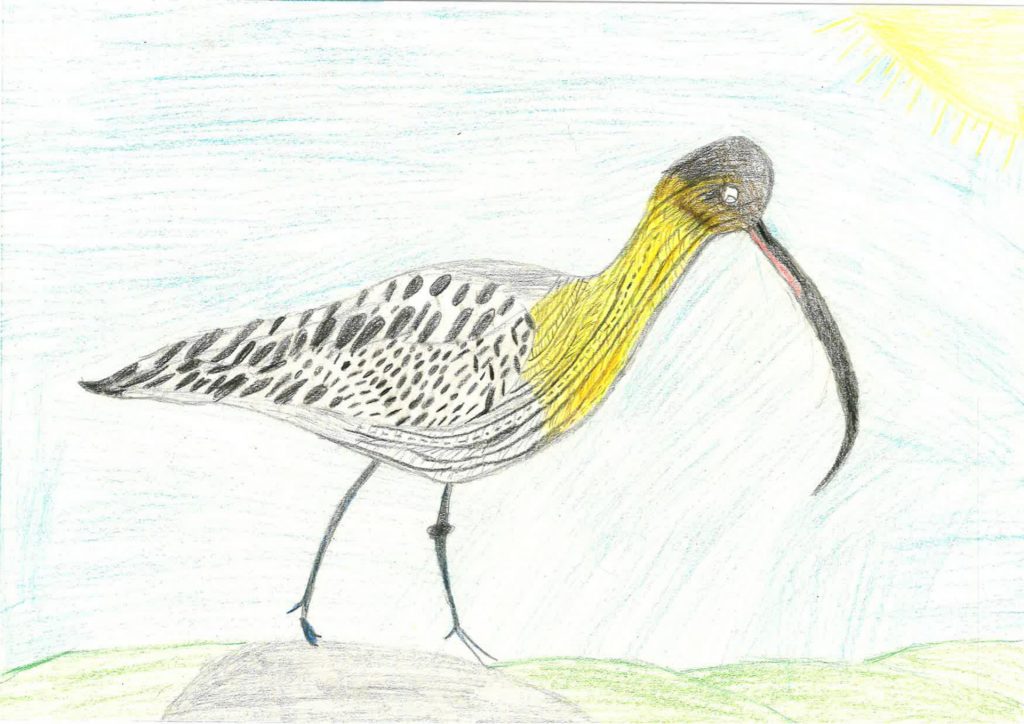
A big thank you to all children who took part in the ECHOES Draw a Curlew Competition!

Categories
Blog

Field collection and analysis of plants

Rhodri Kemp
Research Technician, Aberystwyth University

One of the key aspects of the ECHOES project is determining which plant species the Greenland White-fronted Geese (GWfG) consume at various overwintering sites. This work is duplicated at Irish and Welsh study sites as part of the INTERREG Ireland Wales Programme.

The nutritional value of the food plants will be analysed, and this has a direct bearing on the condition of the geese when they head off on their northward migration during the spring.

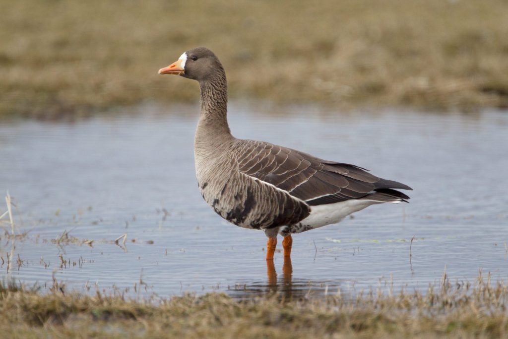
Greenland White-fronted Goose.

Examining literature relating to this goose species allowed us to compile a list of plant species they have been observed to feed upon at various sites in the past. This provided an excellent starting point in terms of indicating what plant species we should sample and also what particular parts of those plants are consumed by GWfG.

DNA meta-barcoding of GWfG faecal matter will soon enable us to determine what species of plants they are feeding on. However, in this first sampling season, in the absence of such information, it was decided that we should visit known feeding areas and collect samples of plants that are likely to be consumed based on the historical food plant species list. These samples have been collected at three different periods throughout winter so we could see if there was any change in the nutritional value of those plants.

The first sampling sessions around the Dyfi Estuary were meant to take place shortly after the GWfG flock arrived in the early autumn. Due to the Covid-19 pandemic, this had to be delayed until December.

The second collection took place in the middle of the winter and the third collection will be carried out just after the GWfG have departed on their northward migration. For all visits, we collected material without any risk of disturbing the geese.

Collecting plant samples on Dyfi Estuary
Rhodri Kemp collecting plant samples on the Dyfi Estuary.

To date the first two sampling periods have been successfully completed, in Wales by a team composed of Peter Dennis (Project Leader), Danny Thorogood (Botanist), and myself (Research Technician) with guidance from Gareth Thomas (Project Ornithologist).

In Ireland, Gemma Beatty (Molecular Biologist) has co-ordinated duplication of this fieldwork at the North Slobs Bird Reserve, Wexford and Dominic Berridge (Reserve Warden; National Parks and Wildlife Service, Ireland) has collected faecal material and vegetation samples from what is the primary wintering site for GWfG.

In Wales, Peter combined vegetation sampling with the collection of goose faecal material from current daytime grazing areas, whilst Danny and I collected samples from locations with suitable vegetation that were not currently grazed by GWfG.

Gareth’s input was critical as he spends much of his time monitoring the GWfG flock with great precision, resulting in highly detailed information on daily movements and seasonal feeding site preferences. Also to warn the fieldwork team to withdraw should the geese take flight and head towards their location.

So far, over 106 vegetation samples have been collected from across all the case study sites of Wales and Ireland for later analysis and comparison.

Grass samples being prepared for analysis.
Fiddly work! Samples of the Greenland White-fronted Goose diet in preparation for analysis.

The samples are currently being cleaned, sorted, and dried ready for the next stage of the process – nutritional analysis and we anticipate discovery of fresh insights into the dietary requirements of the rare Greenland White-fronted Goose.

Categories
Blog

INTERREG Ireland-Wales projects meet to discuss collaboration

Representatives from 15 INTERREG Ireland-Wales projects met on the 9th of December 2020 to introduce themselves and their projects at our inaugural Operation Matters Forum. Of the 21 people who met, most were Operation Managers. Principal Investigators, Research Managers and Communications Leads also joined the group.

Projects varied from some that had started within the year and others that were coming to Project Closure and it was acknowledged that there is a huge opportunity here to draw on the experience of others and share best practice. We heard from each of the attendees and noted both the diversity of the projects within the group as well as the overlaps and common areas of interest.

During the break-out room sessions, the future purpose of the forum was discussed as well as some logistics items; how often we should meet for example. These discussions were reported back in brief to the full group afterwards and in more detail via email to the forum organiser, Crona Hodges. Crona collated the results of this initial discussion and circulated these across the group.

Identifying areas where there could be future collaboration was noted as something that everyone was keen to explore further, as was the opportunity to come together and share ideas and experience. Identifying areas of common interests and focussing meetings on those was also noted.

Common interests could include publicity, procurement, extensions, coping with Covid-19, claims, project closure, community engagement, external evaluations and social media. Cross-promoting events and social media posts was mentioned during the open discussion and efforts have begun to ensure that everyone has the links to each of the project websites and each of the Twitter handles, so that this can happen more often going forward.

Information on NRW’s Marine Area Statements event coming up in Jan was circulated to all prior to the meeting, along with a link to the recently published Regional Investment in Wales: Framework document. The forum will meet again early in the New Year.


Categories
Blog

Illustrating the ECHOES project

Laura Sorvala
Illustrator at Laura Sorvala Illustration & Graphic Recording

When ECHOES Project Manager Crona Hodges got in touch with me about ECHOES I got excited about being able to work on something that relates to climate change and nature. I guess it is part of me being Finnish – we have a deep connection with nature, and I tend to be drawn towards opportunities to draw animals and plants and how things are interconnected. I am also fond of multidisciplinary approaches and have produced illustrations for a wide range of research projects combining different academic disciplines.
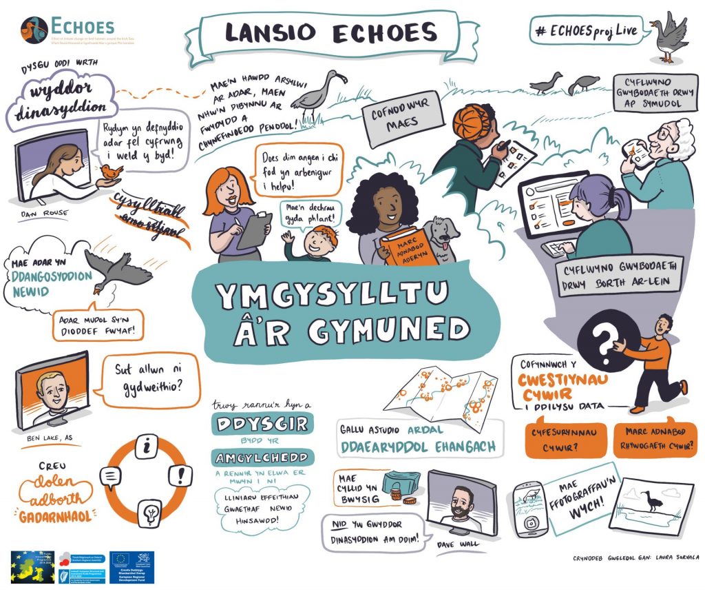
As usual, my process began with a discussion exploring what might work best for the project. The aim was to create engaging visuals for the digital project launch, but also to think about a future set of images that can help visualise the work of the ECHOES project. We decided to work on presentation slides, focusing on the five key areas of the project.

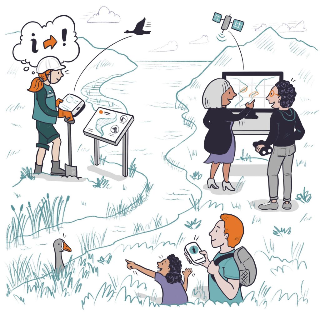
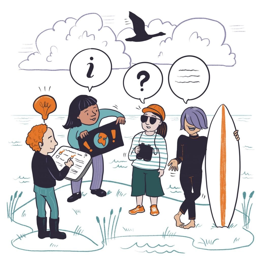
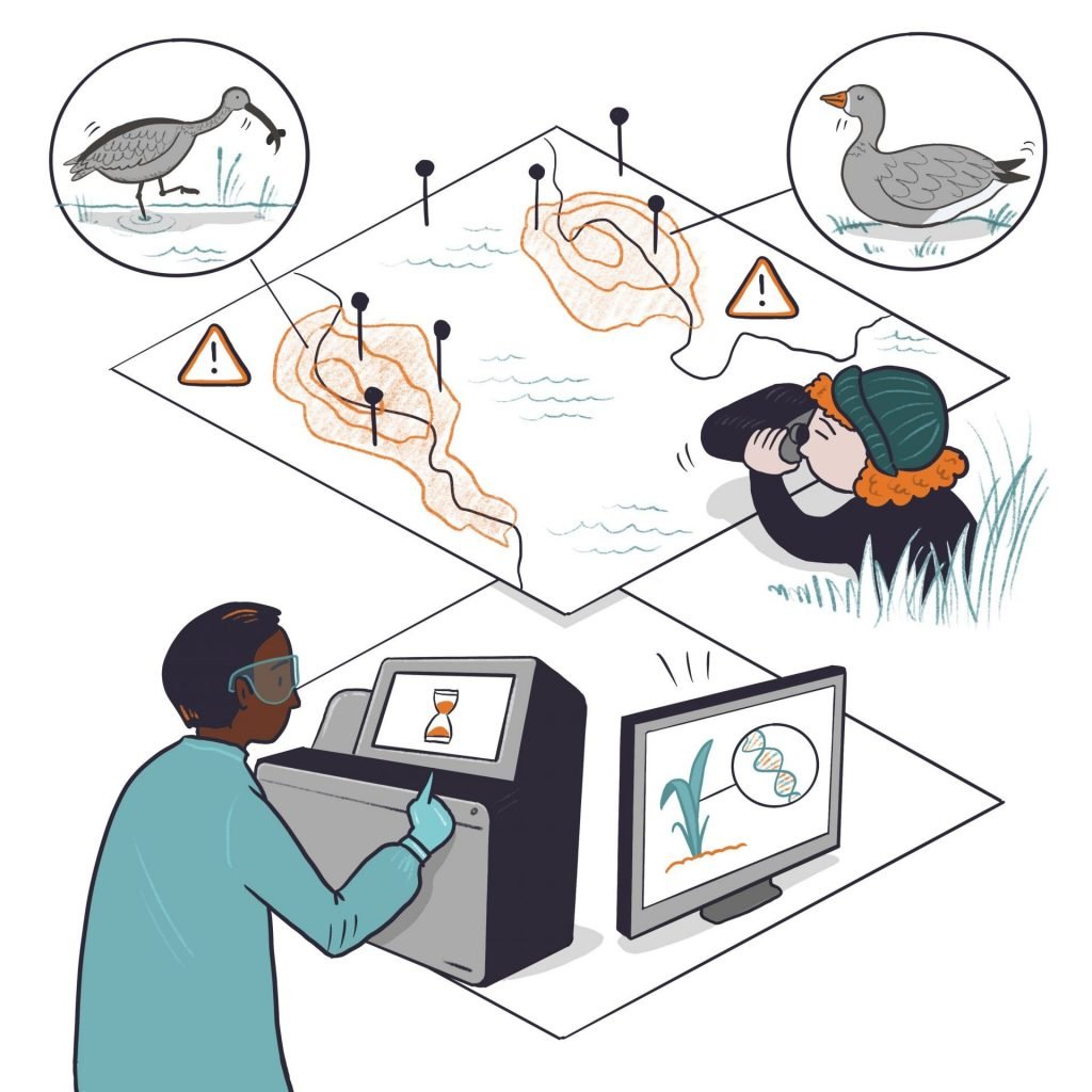
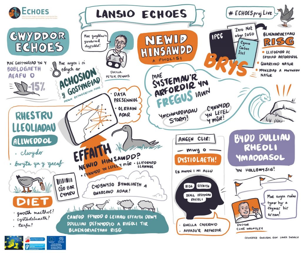
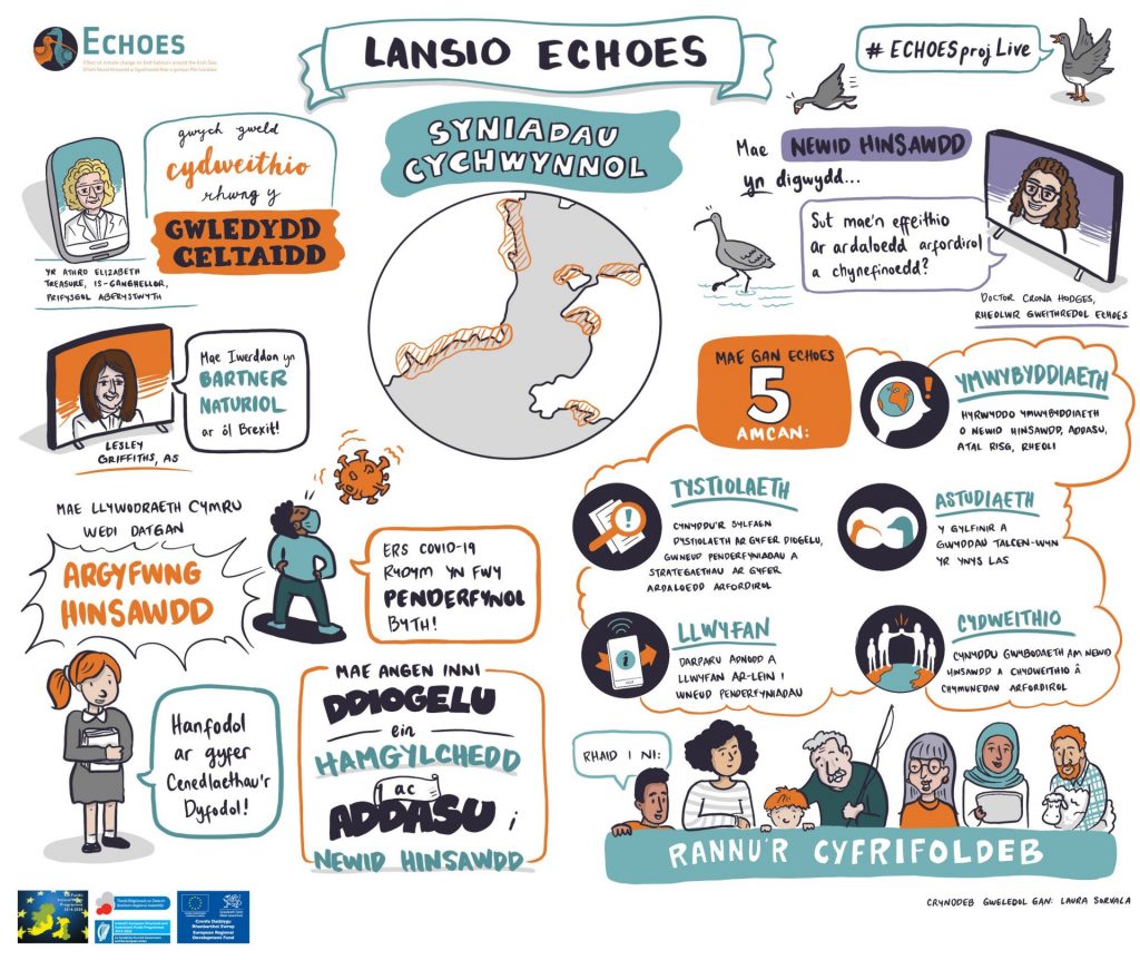
Illustrations depicting some of the ECHOES activities. Clockwise from top left: Web platform tool, bird tracking, stakeholder engagement and vegetation surveys.

I chose a limited number of colours based on the ECHOES projects’ colour palette. I then sketched initial ideas that we adapted to make sure that the more abstract concepts and connections would come across in an accessible way. I also created icons and square images to optimise use across social media in future engagement efforts.
ECHOES icons.

Visual thinking is like second nature to me, but each project does bring its own challenges. For example: how to visualise the content hierarchy, tone of voice, ethnicity and gender balance, so it’s just right. My illustrations often take shape during the process of sketching and cannot be prescribed in advance. In that sense I truly appreciate clients putting their trust in me to go away and come up with ideas on how best to communicate the brief. We had several rounds of amends on some smaller details to really finetune the scientific points right. When the sketches were all good to go, I drew the final artwork in Procreate on iPad Pro – my current workhorse for both remote event work and commissions.

It was great to be part of the launch and to see the visuals being used in the presentation slides. The speakers and their messages were wonderful to draw and create a visual summary from. They were all so passionate about the possibilities of this collaborative, interdisciplinary work ahead. I am very pleased that the illustrations bring out a sense of energy and passion of people connecting with nature in different ways. I also enjoyed linking in big concepts like climate change as well as detailed scientific methods – like the DNA analysis.

All in all, I loved being part of creating visual assets for the ECHOES project and I hope to stay involved during the next couple of years.

Categories
Blog

Web platform – Tools, design and development

Progress October 2020

Dave Dallaghan
Project & Platform Development Manager, Compass Informatics

The purpose of the ECHOES web platform is to promote climate change awareness, adaptation, risk prevention and management. Working closely with the other ECHOES Work Packages, Work Package 7 – lead by Compass Informatics – are currently developing the following on a phased basis:

  • Web platform tools to promote climate change awareness, adaptation, risk prevention and management
  • Climate change modelling for habitats, impacts and adaptations supports
  • Land Management application
  • Integration with Earth Observation Datasets and processing engines (Sentinel Satellites)
  • Visualisations of species habitats, mapping and tracking
  • Suite of Citizen Science tools and apps
  • Hosting system platform for the projects duration
  • Future development and adoption roadmap

Current developments include the below:

Earth Observation/Remote sensing:

This exciting new area is developing rapidly and is becoming a vital tool for identifying and analysing climate change impacts. Images and sensing data from European Space Agency Satellites (Called Sentinel 1 and 2) is being processed within the ECHOES web platform to produce images that show the effect of climate change related impacts.

Figure 1: ‘Raw’ image direct from European Space Agency Sentinel Satellite
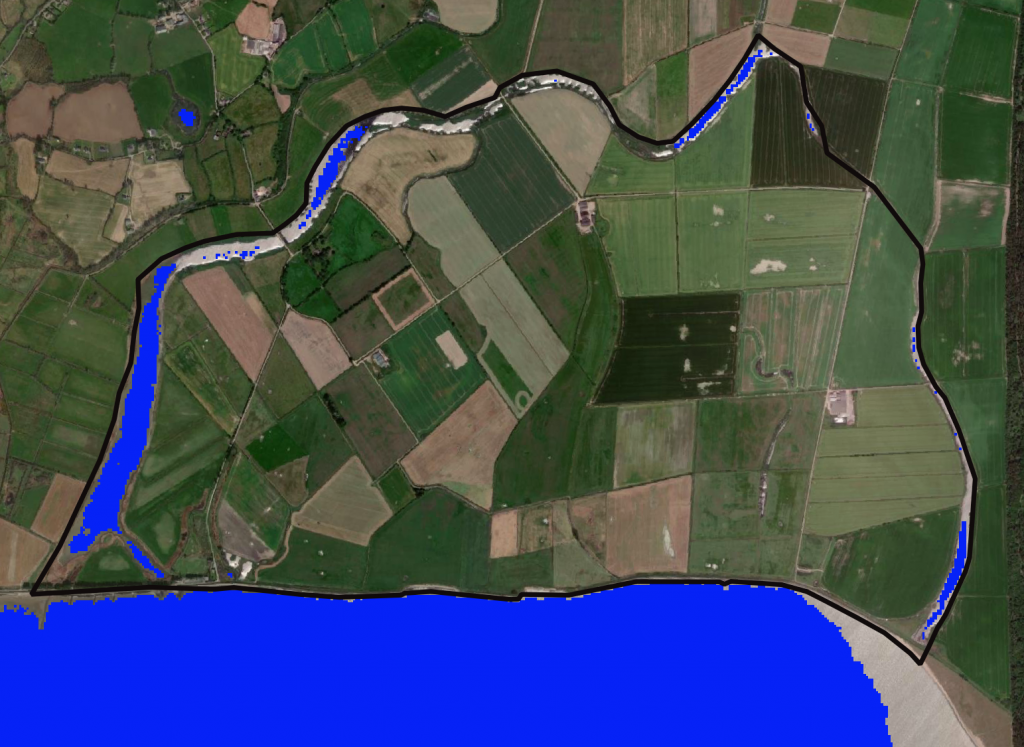
Figure 2: After the Satellite Image (Figure 1) has been processed, water features are identified.

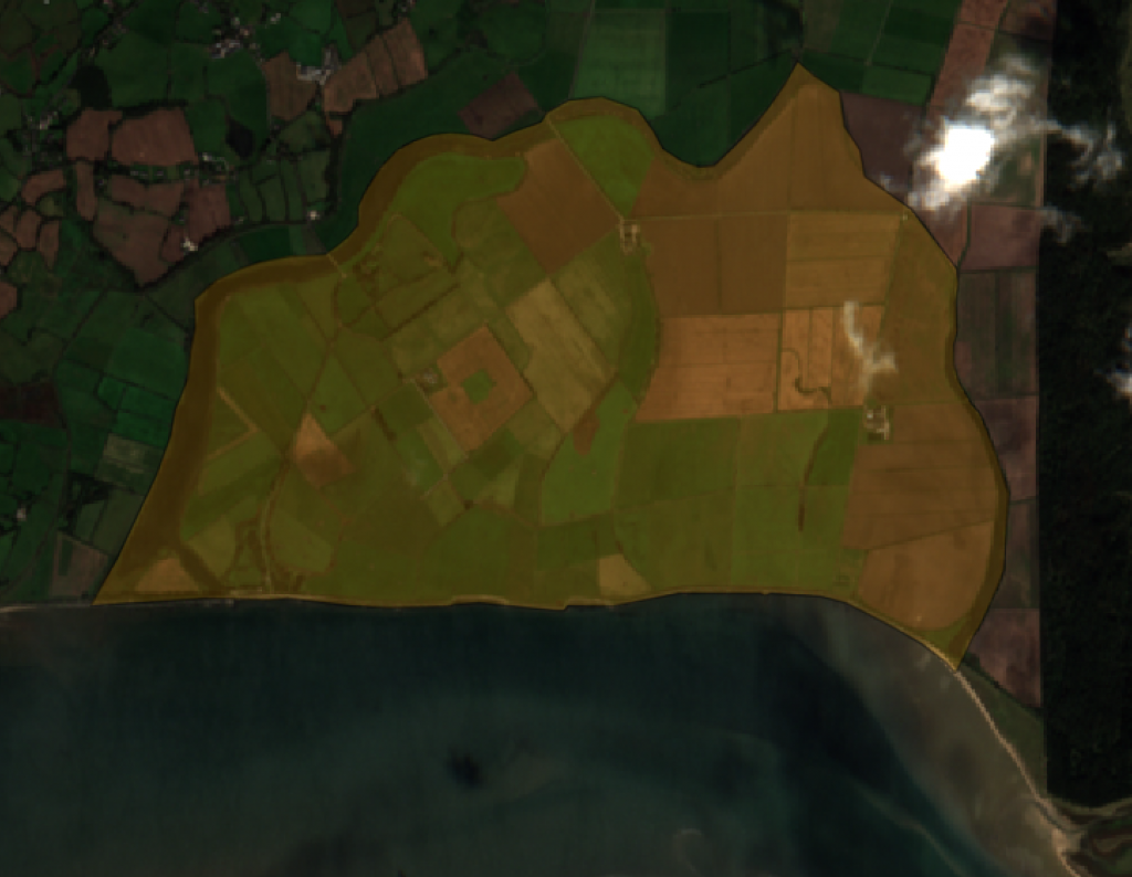
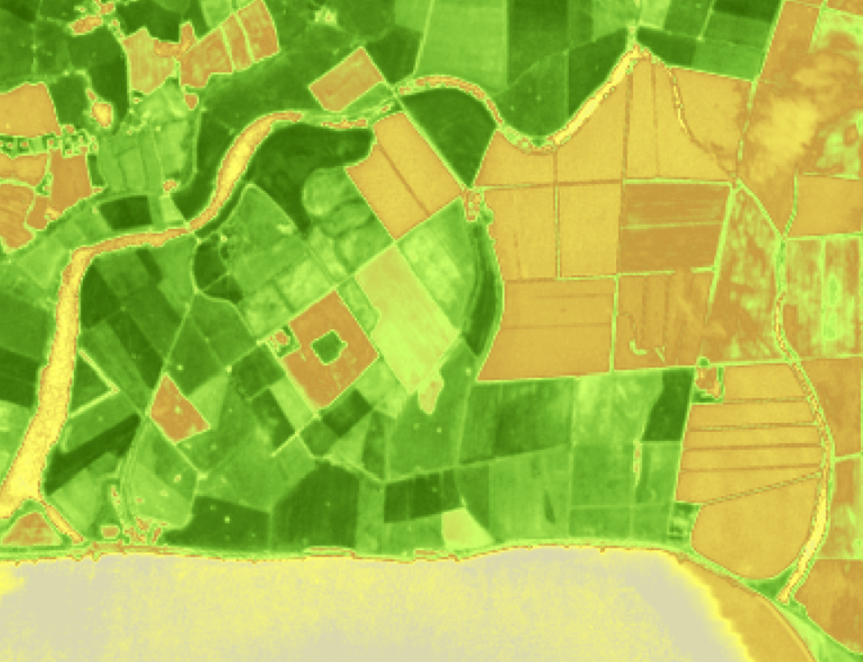
Additionally the processed image below has used infra-red light to help determine the health of vegetation. Plants reflect infra-red at different levels depending on Chlorophyll levels and this and other factors can be used to calculate how healthy the plants are, for example if they are in drought conditions.

Figure 3: Infra-red light is used to determine health of vegetation.

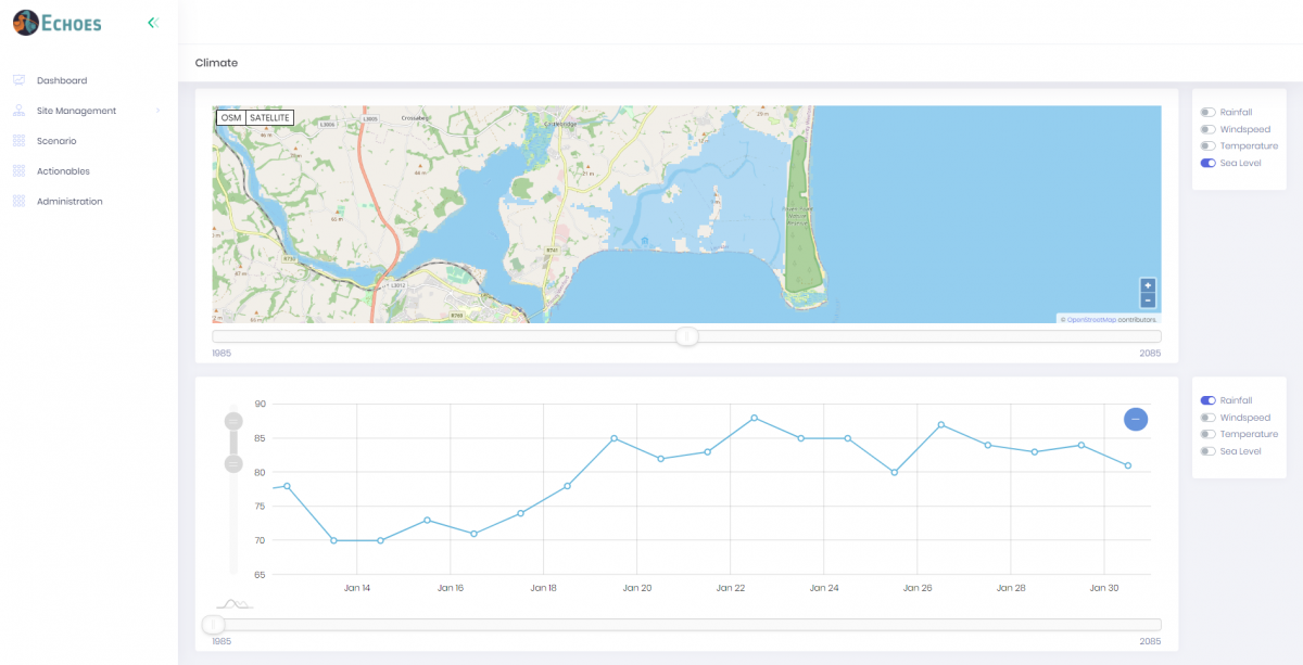
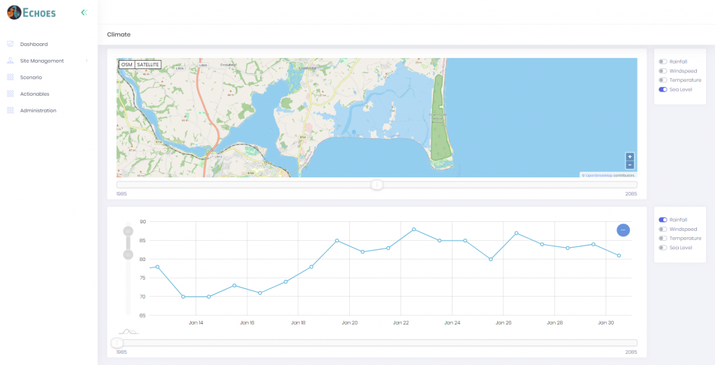
The image below shows how historical data has been merged with future predictions to show the effect of climate change over a period of a hundred years. A user can select Rainfall, Windspeed, Temperature and Sea Level and view historical records for these, as well as predictions of how they are likely to alter as the climate changes. These are shown for the users own area.

Figure 4: Historical data has been merged with future predictions.

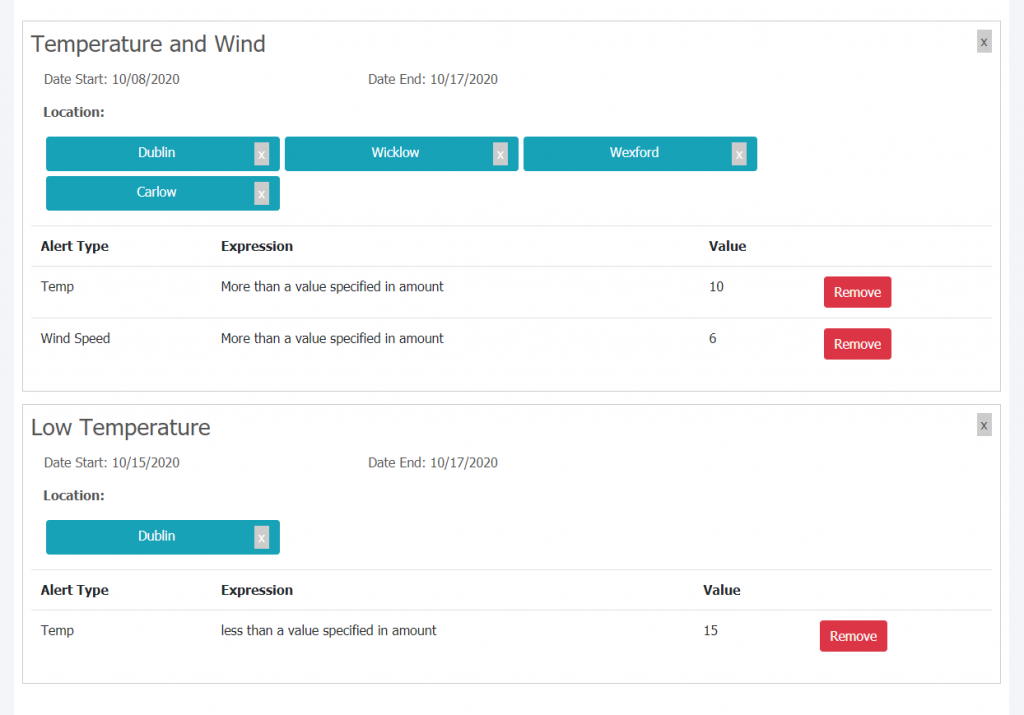
Given that extreme weather events are becoming more frequent and intense due to climate change, a Weather Warning App is being developed to allow users build alerts. This will help them plan for extreme events in their areas. It will also allow them to set their own limits and combinations of variables for warnings, for example: “Tell me when a very high wind will be combined with a very high temperature.”

Figure 5: A Weather Warning App with built in alerts.

Categories
Blog

Habitat and land cover mapping

Progress October 2020 

Walther Camaro
Post-doc Researcher, University College Cork 

When seeking to understand the relationship between wild birds and natural environments, it is essential to identify the main characteristics and dynamics of habitats in which birds meet all their necessities for survival: food, water, shelter and nesting areas. In addition, migratory birds change habitats seasonally, seeking out similar habitats that meet their needs at different times of the year.  

The ECHOES project will study the characteristics and dynamics of key habitats along the Irish Sea coastlines, where the presence of Eurasian Curlew and Greenland White-fronted Goose (GWFG) is recurrent during winter. They migrate here to find habitats that meet their needs – such as mudflats and saltmarshes.  

To understand the distribution and location of these habitats in Ireland and Wales, we will generate habitat and land cover maps through open source Earth Observation imagery. Vegetation data collected in the field surveys (by Work Package 4) will be used to support and confirm the information inferred from the Earth Observation sources. In addition, these maps will be compatible with the Species Distribution Modelling (SDM) activities from Work Package 3, developed with the aim to understand and predict the distribution of the species in the study areas.  

A good example of open source Earth Observation imagery are the Sentinel-2 images generated by the Copernicus Programme (managed by the European Commission and the European Space Agency). These images have a spatial resolution of 10 m, which allows for plenty of detail. We can see the distribution of habitats in coastal areas, where birds such as Curlews and GWFG are spending their winters.  

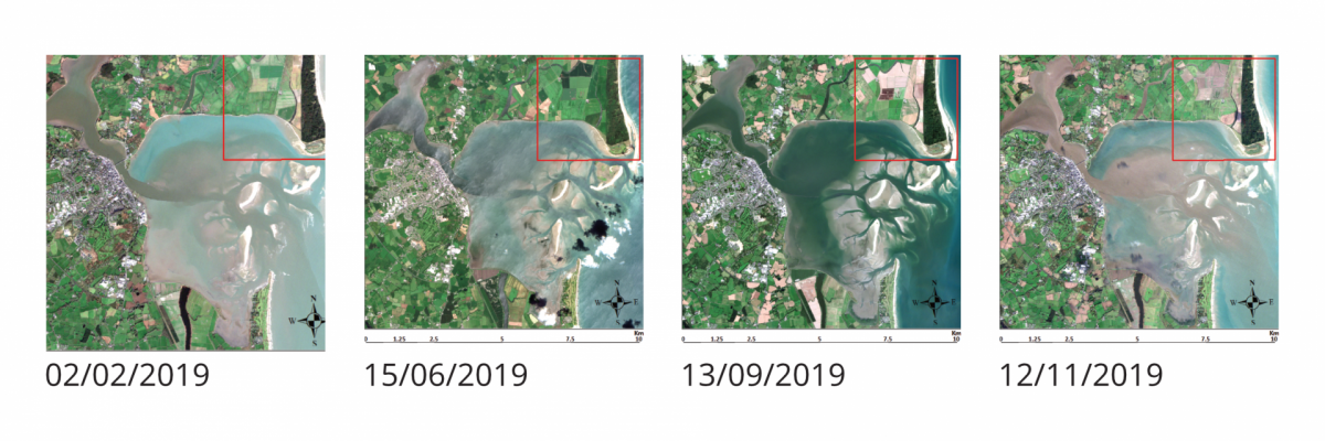
The images below are Sentinel-2 products in different seasons during the 2019. They show the area of Wexford Wildfowl Reserve located in Co. Wexford on the East Irish coast. These images are useful to classify different types of habitats, and to identify the changes and dynamics of the vegetation during the year.  

By zooming over the red square in each one of the images, it is possible to identify different types of habitats and how they change over the year. Some of these habitats are visited by Curlews and GWFG during the winter.  

The yellow square (image below) could be classified as a ‘forest class’, presenting a similar pattern over different periods of the year. Most of the remaining land areas could be ‘grasslands’ or ‘pastures’, but with some different dynamic over the year. For example, the grasslands inside the blue shape change during the year due to cutting practices during the summer months. The grasslands where the cutting activities are identified are classified as ‘Improved Grasslands’ and are normally used for grazing. The grasslands with little change (purple square) are classified as ‘Unimproved Grasslands’ and considered as key habitats for migratory bird species during the winter.  

The team in charge of the habitat mapping activities and the team in charge of the SDM and the field survey activities are currently discussing which key habitats that will need special attention during the habitat classification process, and how the information collected during the field surveys will support the habitat mapping activities.